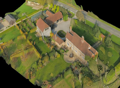
We provide top-of-the-line, high-end quality photos. We use a wide angle lens to show your space, allowing more of the scene to be included in the picture.
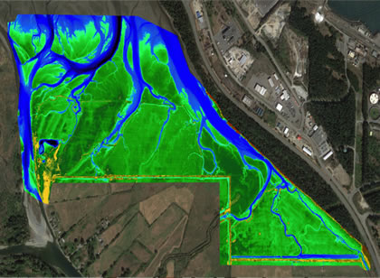
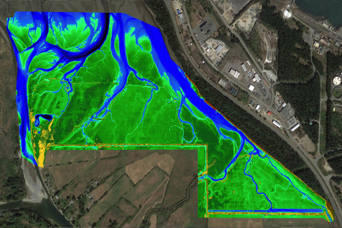
DRONE mapping services
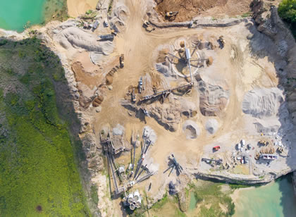
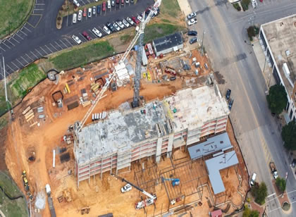
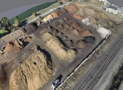
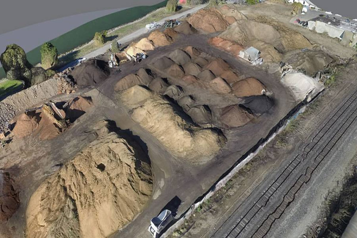
We specialize in aerial mapping and imaging. Producing aerial video for construction, mining and industry. 3D modeling for design and development..
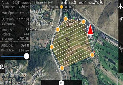
Aerial photo drone services offers aerial mapping and topographic mapping services through the use of its UAS (commonly known as drones). Aerial mapping has been made easy and accessible thanks to the ease that comes with using drones for aerial services..
key features
- • Aerial video and photography of the exterior of your properety.
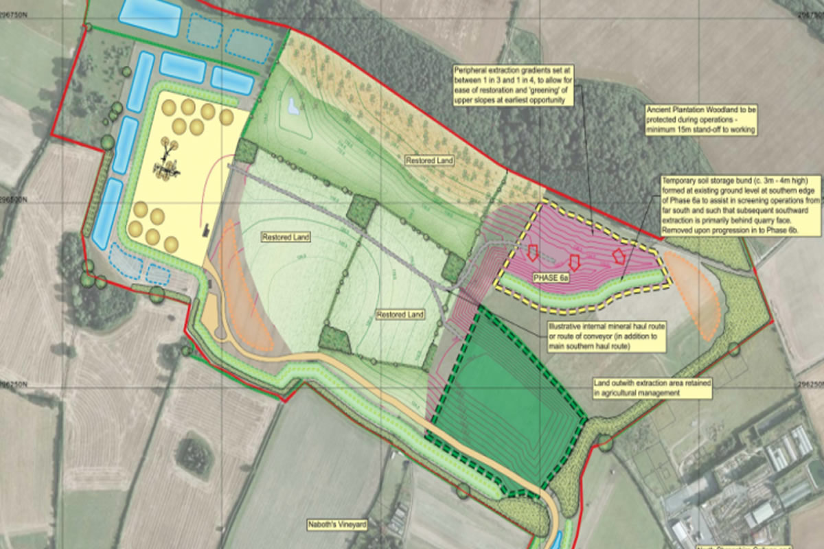
- • Aerial photographs of surrounding topography of your property.
- • Maps are easily shared and embedded in apps.
- • Maps are the geographic container for the data layers and analytics.