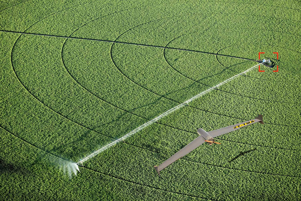
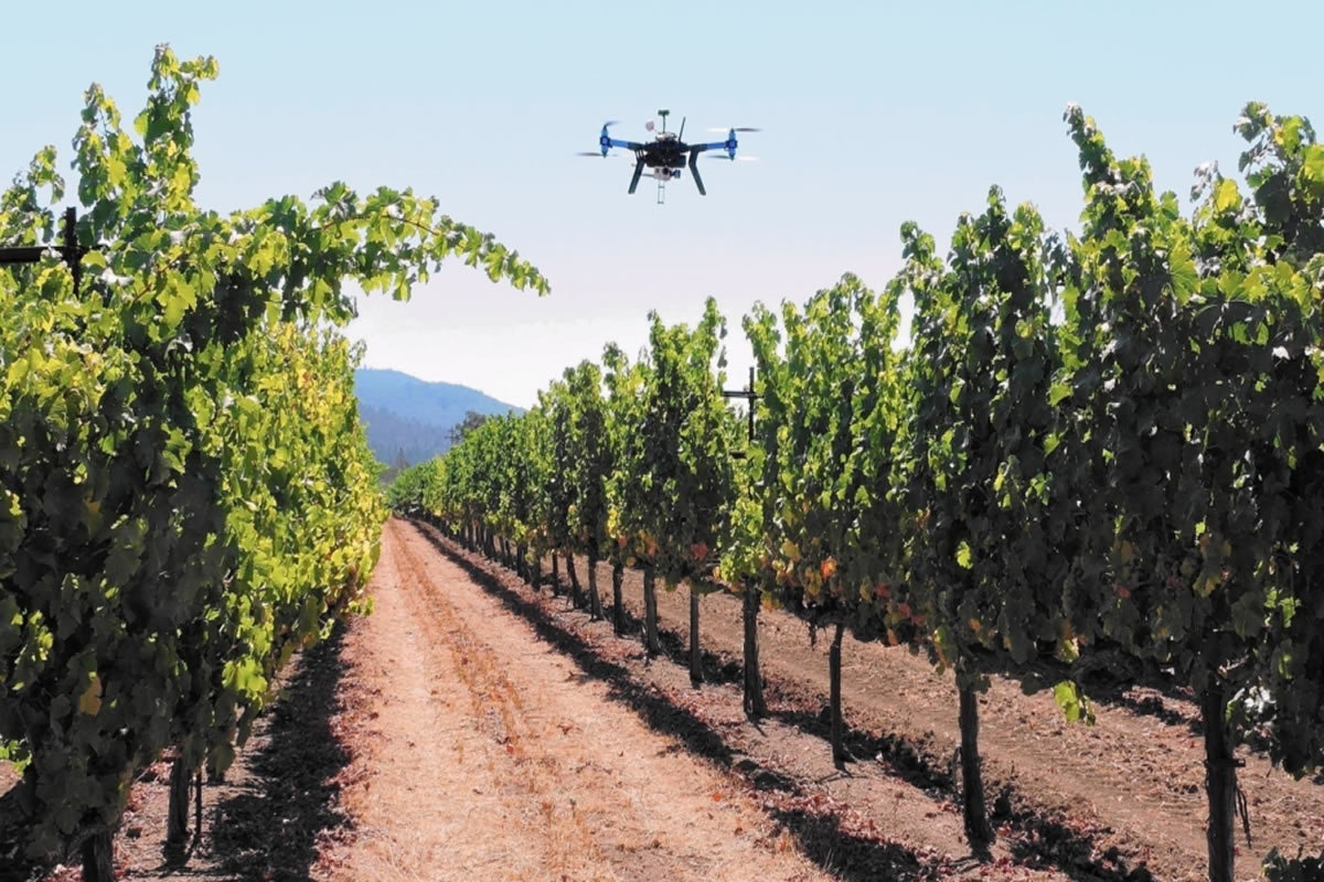
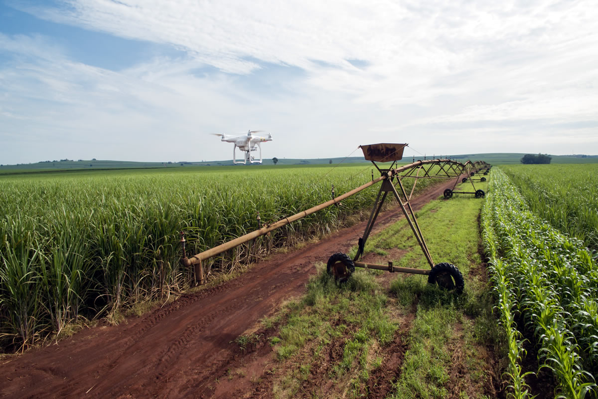
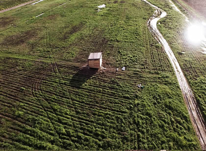
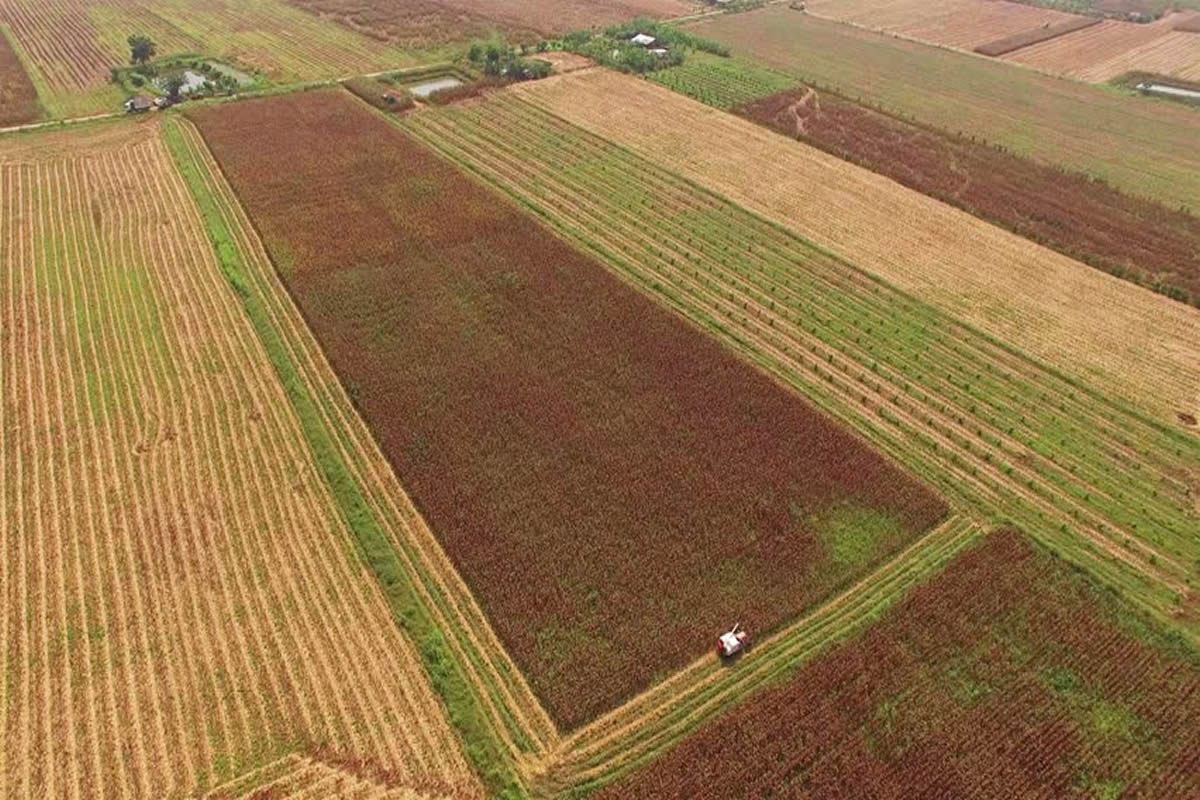
Today, growers around the world are finding that a drone provides a quick way to identify problems in their fields.
Agriculture
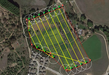
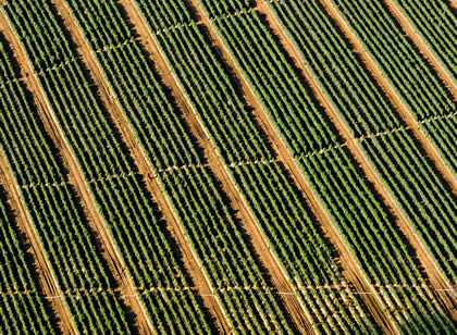
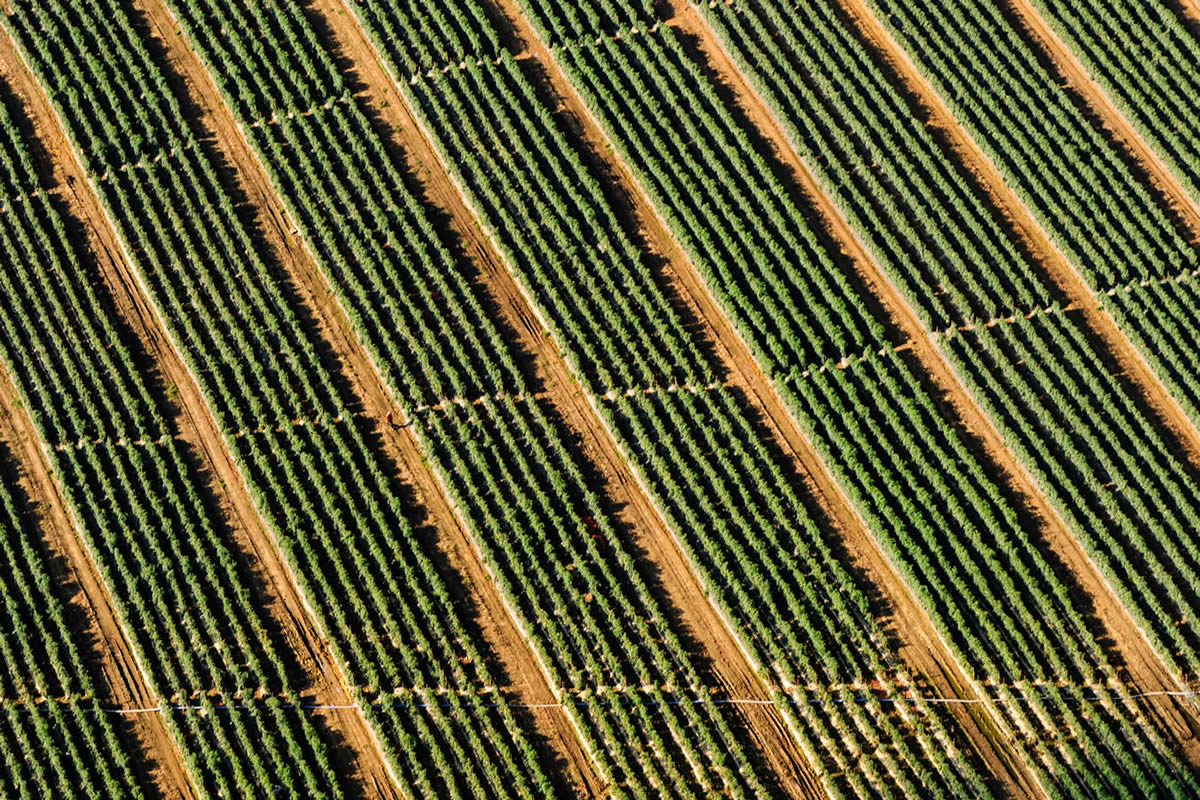
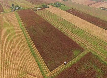
Aerial Mapping gives growers and agronomists detailed insights about crops that would not be noticeable on foot or by traditional land-based methods.Using drones is a much quicker, simpler way of scouting crops to find irregularities and issues so that you can reduce variability and solve problems faster.
key features
- Early detection of disease
- Effectiveness of irrigation
- The final planning decision
- Weed control assessmen